Service
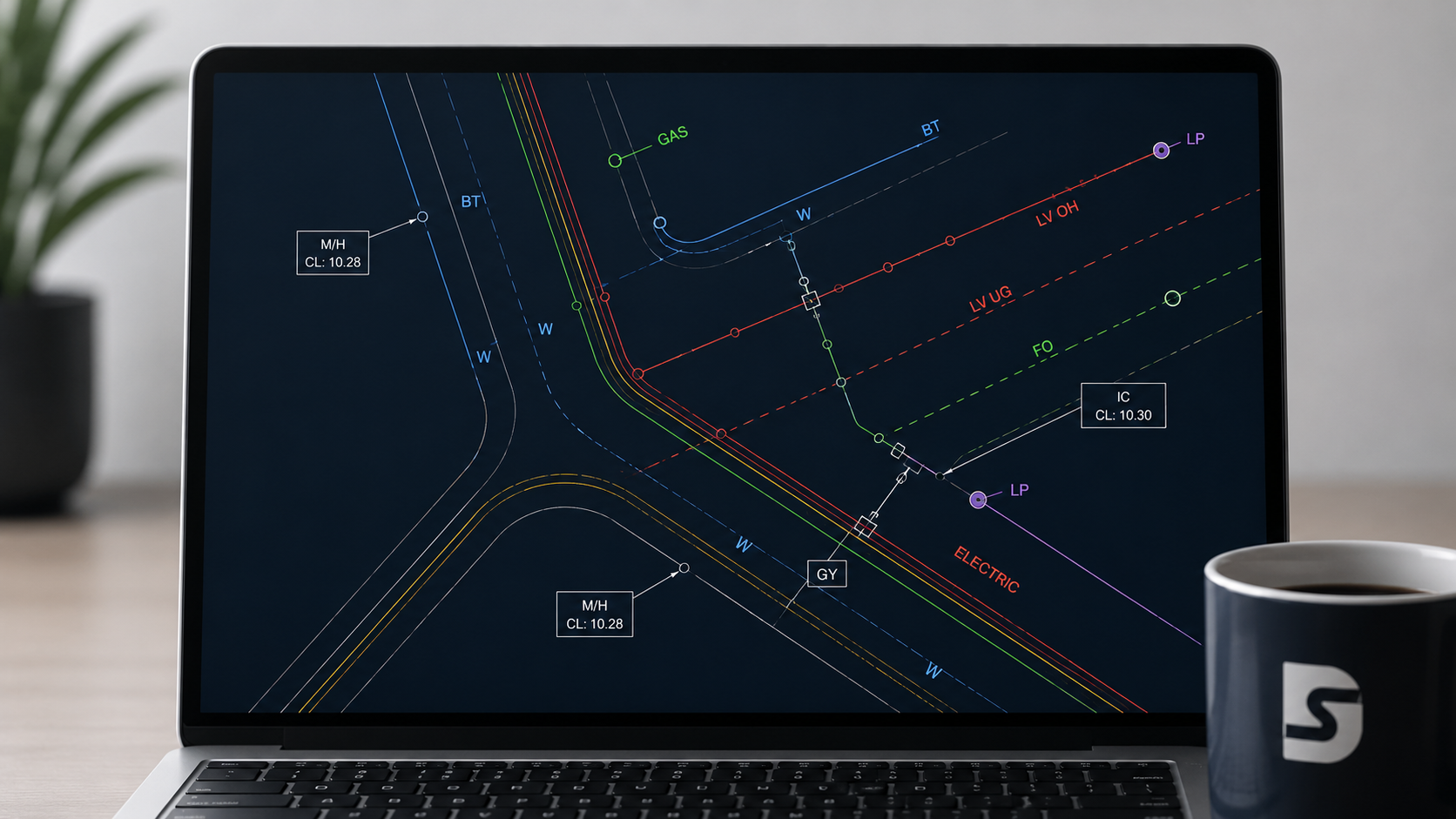
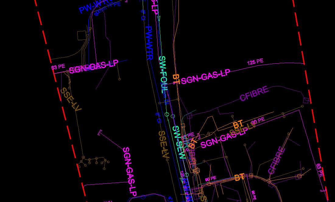
Clean drawings that sit neatly on your base plans, with clear layers, legends and outputs in DGN, DXF and AutoCAD formats. Built for in-house designers and on-site crews.
Every CAD drawing is supplied with an Interactive Smart PDF, so anyone can open, review and print without CAD software. It's clear, fast to navigate, and great for site teams.
We align to your coordinate system (OSGB36) with layered utility data and QA checks included.
Your base plan or site boundary (KML/SHP/PDF) and any existing records you want included.
We follow industry standard symbology or can adapt to your preferred drawing standards.
Reliable delivery dates confirmed at order, with priority 24-hour options available.
Order a CAD utility drawing online in minutes and get engineering-ready results.
Order Now