Transmission routes
Plan searches along a defined corridor, collate relevant operator responses and bring the information together in route-wide composite drawings.

Utility searches, route-wide records and drawing packages for major sites and infrastructure corridors.
Major infrastructure can span long routes, large footprints and multiple work areas. Digsure helps project teams bring available third-party utility records together and choose a useful format for planning and design.
Our team's experience includes National Grid's East Tilbury project and other large infrastructure schemes. Digsure's published project work also includes a multi-sheet utility drawing package for a transmission corridor in Wales.
Plan searches along a defined corridor, collate relevant operator responses and bring the information together in route-wide composite drawings.
Utility information and drawing support for BESS, renewable energy and other complex sites, shaped around the project boundary and brief.
Choose from utility search packs, CAD drawings and interactive Smart PDFs to help teams review records across a wider scheme.
Utility records are supplied by third-party asset owners and are a desktop information source, not an on-site detection survey. Confirm services on site using the appropriate project procedures before excavation.
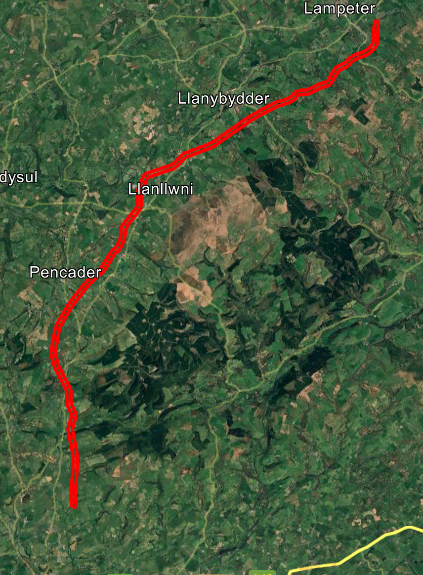
For this extended corridor, Digsure collated utility responses from multiple network operators and produced a 20-sheet composite drawing set with an interactive Smart PDF.
Tell us about the site or route, project stage and the information your team needs.
Discuss your project Start an order